Casper, Wyoming

Services
Water Management & Decision Tools
Accounting, transit losses, instream flows
Hydrologic & Hydraulic Modeling
Watershed to continental-scale models
GIS & Remote Sensing
Terrain, land cover, ET, spatial data
Projects & Publications
Our work, start to finish.
Over 20 projects and 25 published papers across flood mapping, water management, GIS, and military hydrology. Filter to find the work closest to yours.
Project archive
Every project, in one place.
We specialize at the confluence of geospatial data, programming, and water resources. Filter by service, client, or status, or search for a river, agency, or method.
Why it matters: you can see the exact kind of problem you have, and how we solved it for someone else.
Current & recent projects
Wyoming State Engineer's Office
Follum Hydrologic Solutions (FHS) in collaboration with Precision Water Resources Engineering (PWRE) completed a comprehensive transit loss evaluation for the Green…
- Water management
Wyoming State Engineer's Office
Follum Hydrologic Solutions (FHS) is extending its ongoing Transit Loss Study for the Wyoming State Engineer’s Office to include the Blacks Fork and Little Snake Rivers…
- Water management
Wyoming State Engineer's Office
Riparian ET & Consumptive Use Investigation, part of our Green River Basin water management work for the Wyoming State Engineer’s Office.
- Water management
- GIS & terrain
Upper Colorado River Basin, Utah
Follum Hydrologic Solutions (FHS), as a subcontractor to Precision Water Resources Engineering (PWRE), is expanding the Utah Colorado River Accounting and Forecasting …
- Water management
CIROH · Brigham Young University
Follum Hydrologic Solutions (FHS) is teaming with Brigham Young University under a CIROH-funded research effort to expand the National Water Model (NWM) Flood Inundation…
- Flood mapping & hydraulics
U.S. Army ERDC
Follum Hydrologic Solutions (FHS) is developing the Gap Analysis Tool (GAT), a modern, Python-based, GIS-integrated application that automates the identification and…
- Military mobility
- GIS & terrain
U.S. Army ERDC
Follum Hydrologic Solutions (FHS) is leading a multi-year research and development effort to advance operational flood inundation mapping by integrating multiple flood…
- Flood mapping & hydraulics
U.S. Army ERDC
Follum Hydrologic Solutions (FHS) completed a two-year research and development project for the U.S. Army Engineer Research and Development Center (ERDC) to advance…
- Flood mapping & hydraulics
- GIS & terrain
Wyoming Water Development Office
Follum Hydrologic Solutions (FHS) is conducting a Level I instream flow study for six stream segments in the Upper Green River Basin in Wyoming on behalf of the Wyoming…
- Water management
Wyoming Water Development Commission
Pursuant to Wyoming State Statute §41-3-1004(a) the Wyoming Water Development Commission is commencing the “Upper Green River Basin Instream Flows 2025 Study” to…
- Water management
Trout Unlimited
Follum Hydrologic Solutions (FHS), on behalf of Trout Unlimited, conducted an independent technical review of the water quality modeling performed for the proposed…
- Technical review
Communities & agencies
FHS provides support in the field of post-fire hydrology to help communities and agencies understand and manage changing watershed conditions after wildfires. We…
- Flood mapping & hydraulics
FHS tool
Estimates potential water savings from agricultural conservation practices.
- Water management
Previous studies
U.S. Army · GSSHA & HEC-HMS
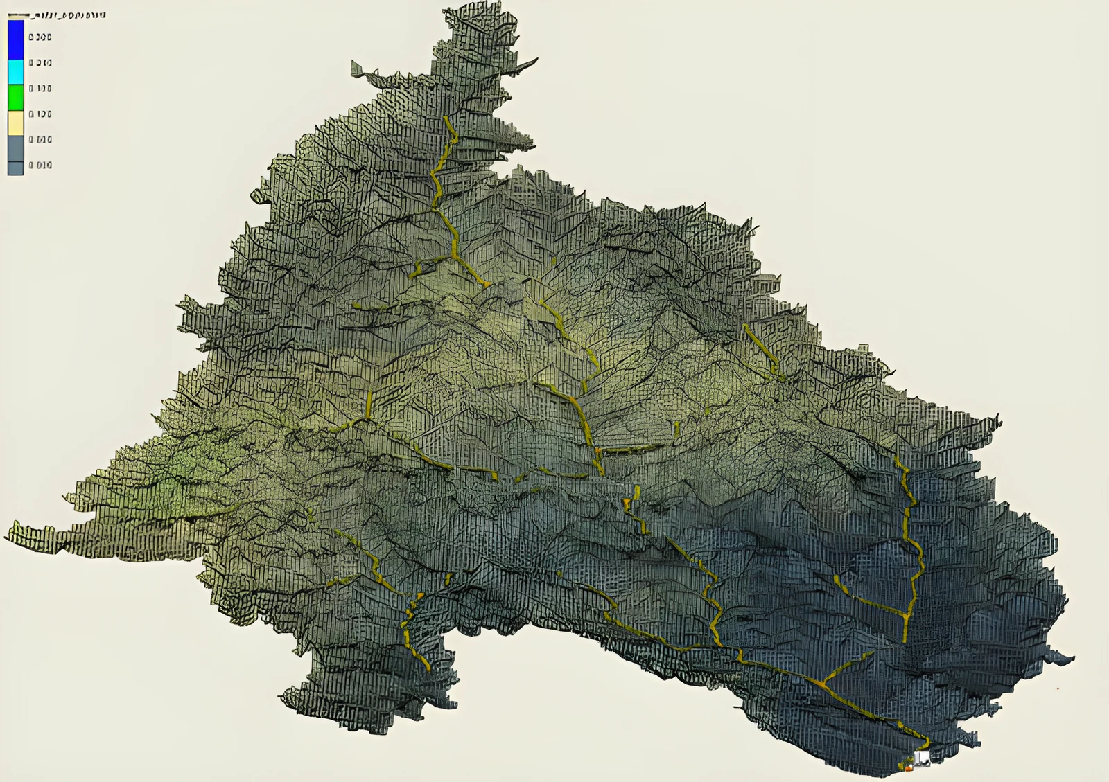
Water from the snowpack drives the rivers for much of the World and can be a large contributor to flooding. Historically, snow has been difficult to simulate due to…
- Snow & forecasting
U.S. Military
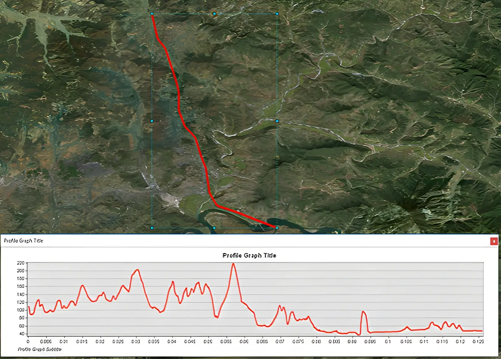
Gap-crossing is one of the largest concerns for military transportation. FHS has developed tools to analyze route corridors for potential wet-gaps. When these wet-gaps…
- Military mobility
- GIS & terrain
U.S. Army ERDC
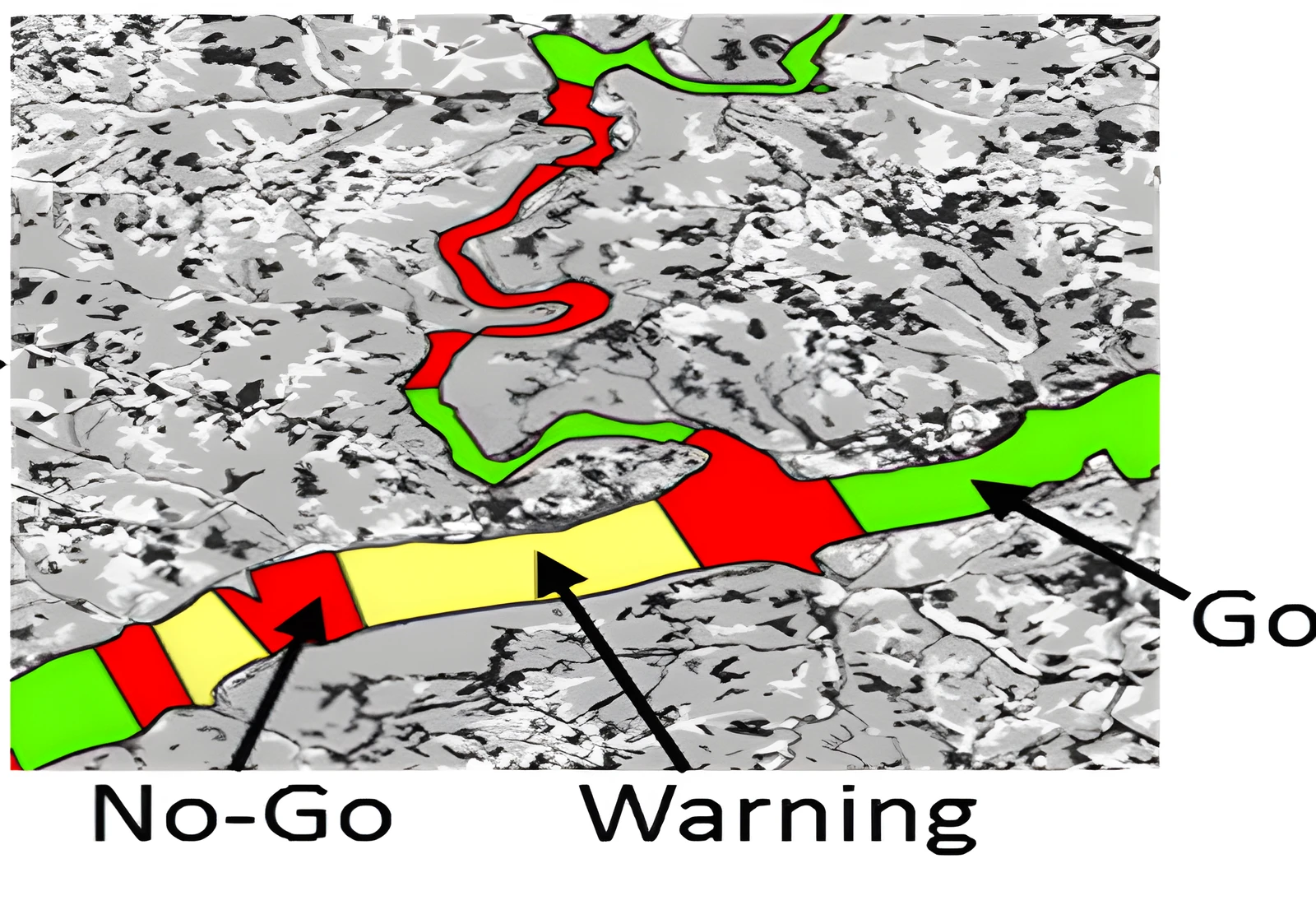
Gap-crossing is one of the largest concerns for military transportation. FHS is a leader in connecting operational hydrology data to be used within mobility analysis.…
- Military mobility
Continental-scale forecasting
Forecast weather and streamflow models account for uncertainty by utilizing multi-member ensembles. Utilizing each member of the weather ensemble, flow models translate…
- Flood mapping & hydraulics
- Snow & forecasting
AutoRoute
This project developed methods to estimate bathymetry within river channels. It also enabled for improved accuracy and computational efficiency of simulating flood…
- Flood mapping & hydraulics
Continental-scale
Continental-Scale flood mapping. This was one of the first efforts to create high-resolution flood inundation maps for the entire continent.
- Flood mapping & hydraulics
Navajo Nation
Use of simple large-scale flood models to prioritize deployment of HEC-RAS 2D model for the Navajo Nation. This concept allows for resources to be wisely used in the…
- Flood mapping & hydraulics
Humanitarian response
Rapid-Response Puerto Rico Flood Mapping for support of humanitarian efforts prior to Hurricane Maria landfall.
- Flood mapping & hydraulics
Sava River Basin
Flood Inundation Mapping for the Sava River Basin was done as part of an effort to help build flood awareness for underserved communities where flash flooding is a…
- Flood mapping & hydraulics
U.S. Military
This project coupled two existing models to quickly generate flow and flood-inundation estimates at high resolutions over large spatial extents for use in emergency…
- Flood mapping & hydraulics
U.S. Military
This project presented improvements and the development of a postprocessing module for the regional-scale flood mapping tool, AutoRoute. The accuracy of this model to…
- Flood mapping & hydraulics
No projects match those filters. Reset filters
Products & Tools
Tools we built because the old way was too slow.
Software, computational tools, and decision-support systems that turn complex datasets into answers.
AWCET
Agricultural Water Conservation Estimation Tool
Estimates potential water savings from agricultural conservation practices.
Why it matters: you know how much water a change in farming practice will actually save before you fund it.
DRC
Diversion Runoff Calculator
Estimates agricultural water use, irrigation diversions, and return flows for water accounting. Winner of an ASCE Best Paper Award.
Why it matters: you can account for what is taken out for irrigation and what returns to the river, with numbers that hold up.
ARC
Automated Rating Curve
Builds synthetic rating curves for large-scale hydraulic analysis and flood inundation mapping.
Why it matters: flood maps get built quickly over very large areas, not one river reach at a time.
More open tools
Limited Access Tools
Tools for authorized partners.
Some of our tools were built for the U.S. military and partner agencies, so they sit behind a sign-in. If you already have access, sign in from the tool below.
Why it matters: sensitive tools stay protected, and the people cleared to use them still get one click to their tool.
Limited access
Multi-Model Flood Maps
Rapid creation of Flood Maps using multiple flood models.
Western Water Management
Water management work across the West.
From the Green River in Wyoming to the Colorado River Basin in Utah and the Newlands Project in Nevada.
- Agricultural Water Conservation Estimation Tool (AWCET)
- Utah Colorado River Accounting and Forecasting (UCRAF)
- Green River & New Fork River Transit Loss Study
- Riparian ET & Consumptive Use Investigation
- Green River Basin Instream Flow Study
- Demand Management / Conservation Demonstration Studies
- Irrigation Studies
- Evaluation of the 1997 Operating Criteria and Procedures (OCAP) for the Newlands Project
- Truckee Canal Losses Study
- Wyoming Critical Aging Infrastructure
Publications
25 papers and technical reports.
Peer-reviewed research and technical reports by our team, from the U.S. Army Engineer Research and Development Center to today. Each DOI link opens the paper on the publisher’s site.
Why it matters: the methods we use on your project have been tested, reviewed, and published, so they hold up.
publications shown
Gutenson, J. L., Follum, M. L., Wahl, M. D., Ondich, E. S., & Staebell, K. A. (2025). Improving continental and global scale digital elevation models via estimation of a riverine topobathymetric surface. Environmental Modelling & Software, 191, 106487.
Journal articleTerrain & bathymetryDOI ↗
Gutenson, J. L., Follum, M. L., Staebell, K. A., Ondich, E. S., & Wahl, M. D. (2025). Analyzing synthetic stage–discharge rating curves and riverine flood inundation maps derived from global-scale hydrologic and hydraulic modeling. Journal of Flood Risk Management, 18(4), e70135.
Journal articleFlood mappingDOI ↗
Gutenson, J. L., Sparrow, K. H., Brown, S. W., Wahl, M. D., & Gordon, K. B. (2024). Case study of continental‐scale hydrologic modeling’s ability to predict daily streamflow percentiles for regulatory application. JAWRA Journal of the American Water Resources Association, 60(2), 461-479.
Journal articleStreamflow & reservoirs
Follum, M., et al. (2023). A decision support tool to help water managers in the Colorado River Basin in Utah. Proceedings of SedHyd Conference, St. Louis, MO, May 8–12, 2023.
Conference paperStreamflow & reservoirsDecision support
Follum, M., et al. (2023). Towards a continental-scale riverine bathymetry dataset using readily available data and simple hydraulic models. Journal of Hydrology, 129769.
Journal articleTerrain & bathymetry
Tavakoly, A. A., Gutenson, J. L., Lewis, J., Follum, M. L., et al. (2021). Direct integration of numerous dams and reservoir outflow in continental-scale hydrologic modeling. Water Resources Research, 57(9).
Journal articleStreamflow & reservoirsDOI ↗
Praskievicz, S., Carter, S., Dhondia, J., & Follum, M. (2020). Flood-inundation modeling in an operational context: Sensitivity to topographic resolution and Manning’s n. Journal of Hydroinformatics, 22(5), 1338–1350.
Journal articleFlood mappingTerrain & bathymetry
Follum, M., et al. (2020). Improved accuracy and efficiency of flood inundation mapping of low-, medium-, and high-flow events using the AutoRoute model. Natural Hazards and Earth System Sciences.
Journal articleFlood mappingDOI ↗
Gutenson, J., Tavakoly, A. A., Wahl, M., & Follum, M. (2020). Comparison of generalized non-data-driven lake and reservoir routing models for global-scale hydrologic forecasting of reservoir outflow at diurnal time steps. Hydrology and Earth System Sciences, 24(5), 2711–2729.
Journal articleStreamflow & reservoirs
Follum, M., et al. (2019). A comparison of snowmelt-derived streamflow from temperature-index and modified temperature-index snow models. Hydrological Processes, 1–16.
Journal articleSnow & frozen groundStreamflow & reservoirsDOI ↗
Follum, M., et al. (2019). Utilizing simple large-scale flood models to prioritize deployment of HEC-RAS 2D models: Case study of Navajo Nation flood inundation maps. Flood Risk Management Newsletter, 12, 4–7.
Magazine & newsletterFlood mapping
Rajib, A., Liu, Z., Merwade, V., Tavakoly, A. A., & Follum, M. L. (2019). Towards a large-scale locally relevant flood inundation modeling framework using SWAT and LISFLOOD-FP. Journal of Hydrology.
Journal articleFlood mappingDOI ↗
Follum, M., et al. (2018). Rapid flood inundation modelling. The Military Engineer, 110(715), 37–38.
Magazine & newsletterFlood mapping
Afshari, S., Tavakoly, A. A., Rajib, A., Zheng, X., Follum, M., Omranian, E., & Fekete, B. M. (2018). Comparison of new generation low-complexity flood inundation mapping tools with a hydrodynamic model. Journal of Hydrology.
Journal articleFlood mapping
Follum, M., et al. (2018). A simple temperature-based method to estimate heterogeneous frozen ground within a distributed watershed model. Hydrology and Earth System Sciences.
Journal articleSnow & frozen groundDOI ↗
Follum, M., et al. (2018). Rapid flood inundation modeling: An application for Hurricane Maria. The Military Engineer, July–August 2018 Issue.
Magazine & newsletterFlood mapping
Follum, M., et al. (2016). AutoRAPID: A model for prompt streamflow estimation and flood inundation mapping over regional to continental extents. Journal of the American Water Resources Association (JAWRA).
Journal articleFlood mappingStreamflow & reservoirsDOI ↗
Follum, M. L., Yeates, E. M., Snow, A. D., & Tavakoly, A. A. (2016). Flow simulation in the Sava River Basin using an open-source model. Proceedings of the Crisis Management and Disaster Response Annual Conference, Sofia, Bulgaria.
Conference paperStreamflow & reservoirs
Tavakoly, A. A., Snow, A. D., David, C. H., Follum, M., Maidment, D. R., & Yang, Z.-L. (2016). Continental-scale river flow modeling of the Mississippi River Basin using the high-resolution NHDPlus dataset. Journal of the American Water Resources Association (JAWRA), 1–22.
Journal articleStreamflow & reservoirsDOI ↗
Wahl, M., Follum, M., Snow, A., & Tavakoly, A. (2016). Developing hydrologic awareness. The Military Engineer, 700, 65–66.
Magazine & newsletterStreamflow & reservoirs
Follum, M., et al. (2015). A radiation-derived temperature-index snow routine for the GSSHA hydrologic model. Journal of Hydrology, 529, 723–736.
Journal articleSnow & frozen groundDOI ↗
Follum, M. (2015). Automated method to develop a Clark synthetic unit hydrograph within ArcGIS. ERDC/CHL Technical Note CHETN-IV-104. U.S. Army Engineer Research and Development Center, Vicksburg, MS.
Technical reportStreamflow & reservoirs
Follum, M., & Downer, C. (2013). Snow water equivalent modeling capabilities of the GSSHA watershed model. ERDC/CHL Technical Report TR-13-4. U.S. Army Engineer Research and Development Center, Vicksburg, MS.
Technical reportSnow & frozen ground
Follum, M. (2013). AutoRoute rapid flood inundation model. ERDC/CHL Technical Note CHETN-XI-16. U.S. Army Engineer Research and Development Center, Vicksburg, MS.
Technical reportFlood mapping
McKinley, G., Follum, M., Jourdan, M., Mason, G., LaHatte, C., & Ellis, J. (2012). A route corridor flood vulnerability system. ERDC/GSL Technical Report TR-12-29. U.S. Army Engineer Research and Development Center, Vicksburg, MS.
Technical reportFlood mapping
Recent News
Latest from FHS.
Stay up to date with Follum Hydrologic Solutions’ latest achievements, research, and contributions to innovative water resource management.
Award
FHS Receives ASCE Best Paper Award for Diversion Runoff Calculator Research
Recognized by the American Society of Civil Engineers for our Diversion Runoff Calculator research.
Research
FHS attends the 2026 HydroFlame Partner Meet
As part of our ongoing commitment to staying current with research and best practices, FHS attended the 2026 HydroFlame Partner Meet, collaborating with partners and practitioners focused on advancing post-fire hydrology tools and approaches.
Community
Tammy Needham Memorial Scholarship
We are proud to announce that the 2026 Scholarship helped fund the purchase of a new piano for the Aspengrove Choir Academy, supporting their continued musical excellence.
Contact
Have a project like one of these?
Email email us or call 307.337.7260. Prefer a form? It takes a minute.
© 2026 Follum Hydrologic Solutions, LLC · Professional. Innovative. Reliable. | Powered by: Dynamic Digital Solutions