Casper, Wyoming

Services
Water Management & Decision Tools
Accounting, transit losses, instream flows
Hydrologic & Hydraulic Modeling
Watershed to continental-scale models
GIS & Remote Sensing
Terrain, land cover, ET, spatial data
Water resources engineering · Casper, Wyoming
Complex water problems. Practical, defensible answers.
We help water managers, infrastructure owners, and public agencies solve complex water-resource problems with hydrologic and hydraulic modeling, geospatial analysis, and purpose-built computational tools.
15+ yearsH&H modeling experience
PE · PhDLicensed in WY, MS & MT
Watershed → ContinentModeling at every scale
ASCE Best PaperDiversion Runoff Calculator research
Work for
- Wyoming State Engineer’s Office
- Wyoming Water Development Office
- U.S. Army ERDC
- Department of Defence
- CIROH
- Municipalities
- Universities
- Water Conservation Groups
- State Water Agencies
- Bureau of Reclamation
- Irrigation Districts
Solutions & Research
Where water, data, and code meet.
Our team combines decades of experience in water resources engineering, applied research, and operational decision support. We specialize in problems where data are limited, systems are complex, or conventional approaches are not enough, turning available information into practical, defensible solutions for planning, operations, design, and investment decisions.
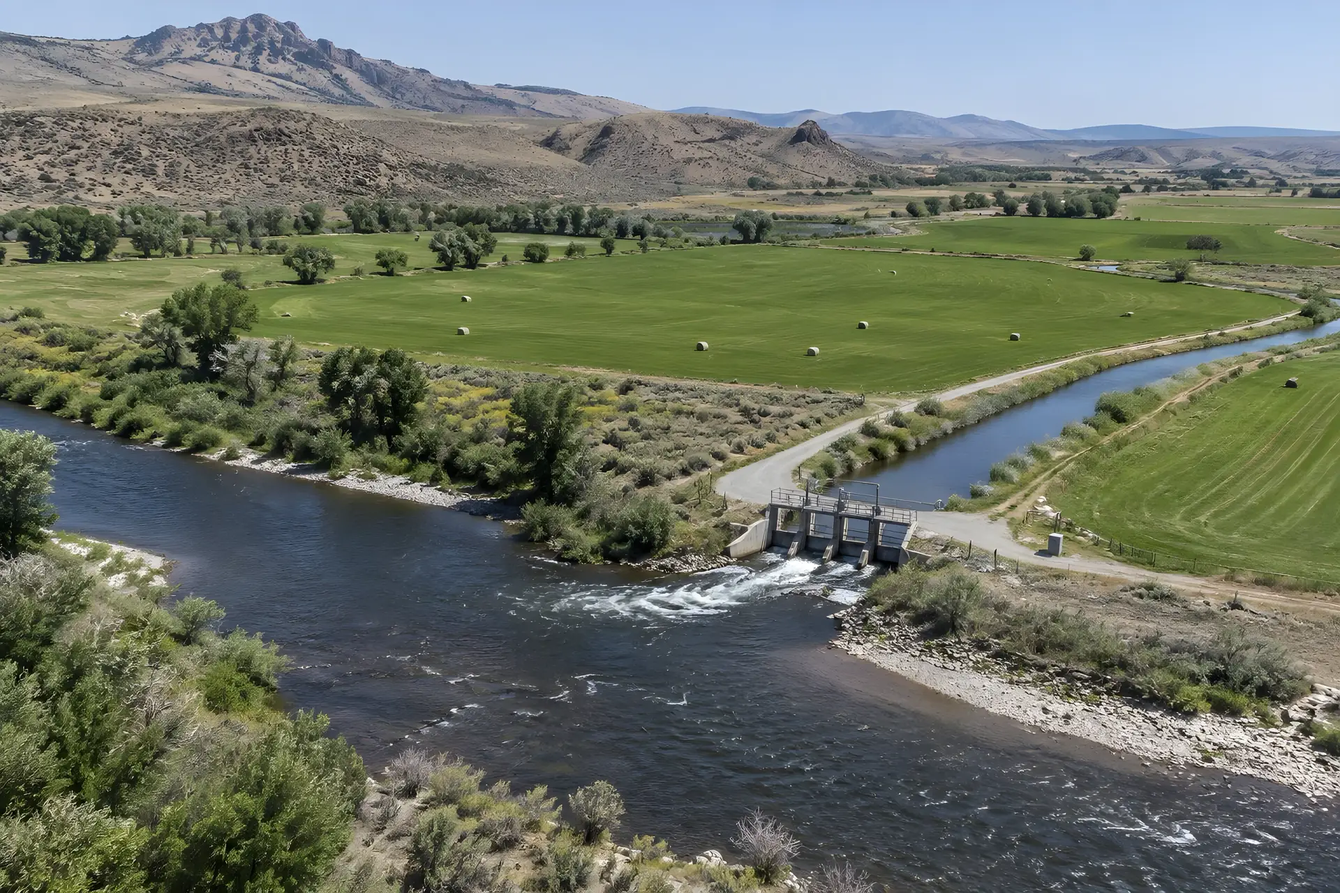
Water Resources Management & Decision Support
Irrigation, consumptive use, water accounting, transit losses, reservoir operations, and instream flows, backed by tools that help you make the call.
Why it matters: you know how much water you really have, where it goes, and how much is lost along the way, so you can make the call and defend it.
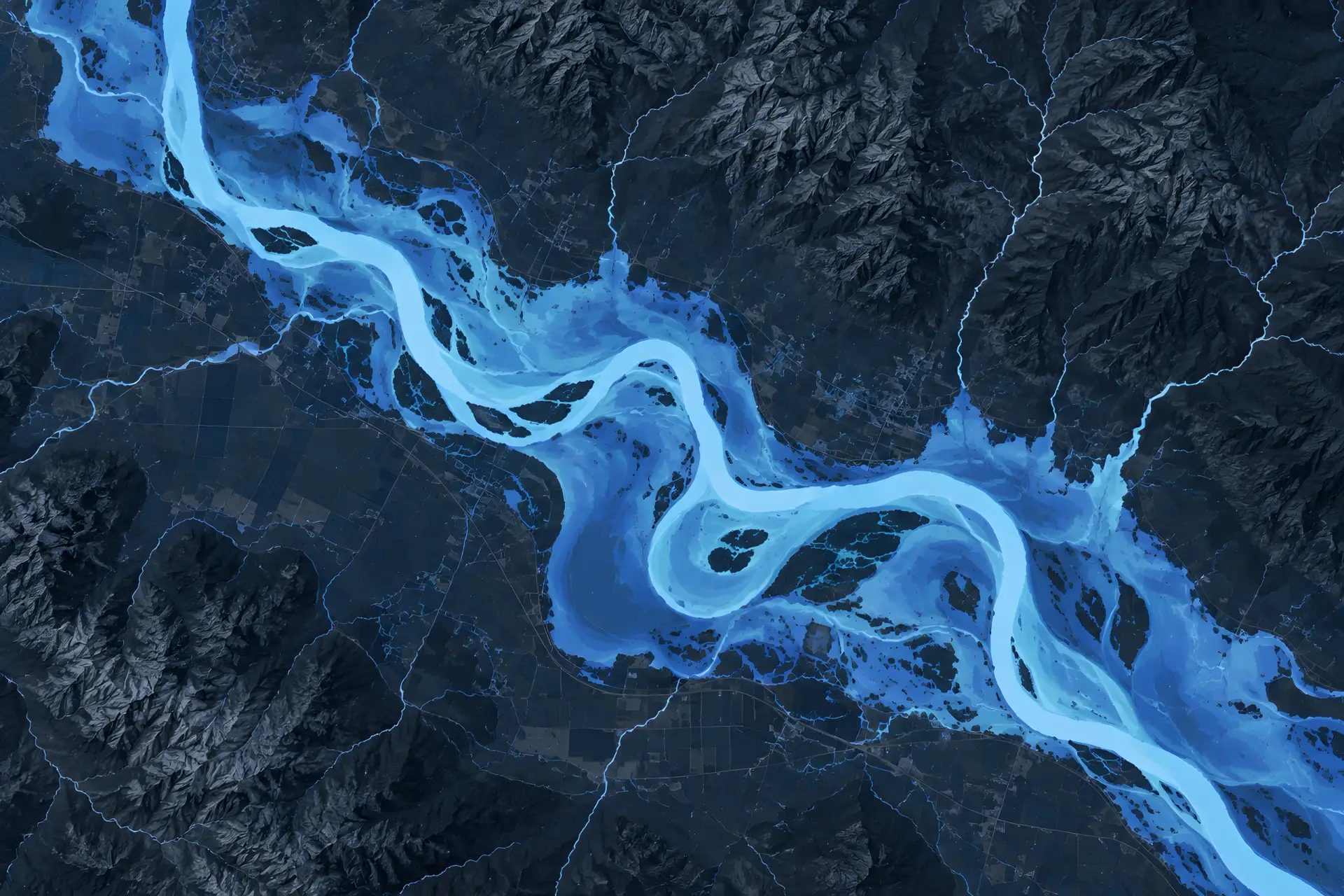
Hydrologic & Hydraulic Modeling
From detailed watershed and 2D hydraulic models to regional and continental-scale simulations, built to be efficient and scientifically defensible.
Why it matters: you know how high the water will get and where it will go before you build, permit, or plan around it.

GIS, Remote Sensing & Geospatial Analysis
Terrain analysis, watershed characterization, land cover mapping, and evapotranspiration estimates, wired straight into engineering models.
Why it matters: you get a clear picture of what is happening on the ground across a whole river basin, ready to feed straight into your models.
Software & Custom Tools
Automation and decision-support software tailored to your data.
Forecasting & Applied Research
Streamflow forecasting, snow and frozen ground, climate studies.
Engineering Analysis & Review
Streamflow measurement, model evaluation, independent reviews.
Our work spans
- Western water management
- Irrigation & conveyance systems
- Flood risk & inundation mapping
- River & reservoir modeling
- GIS, remote sensing & hydroinformatics
- Climate & water availability studies
- Cold region hydrology
- Hydrology to mobility / bridge analysis
- Streamflow measurement
- Independent technical review
Products & Tools
Tools we built because the old way was too slow.
Software, computational tools, and decision-support systems that turn complex datasets into answers.
AWCET
Agricultural Water Conservation Estimation Tool
Estimates potential water savings from agricultural conservation practices.
Why it matters: you know how much water a change in farming practice will actually save before you fund it.
DRC
Diversion Runoff Calculator
Estimates agricultural water use, irrigation diversions, and return flows for water accounting.
Why it matters: you can account for what is taken out for irrigation and what returns to the river, with numbers that hold up.
NENCARTA
Flood Inundation & Consequence Mapping
Automates riverine flood maps from National Water Model or GEOGLOWS streamflow, then estimates flood damage to structures across the U.S.
Why it matters: you see where the water will go and which buildings it will hit, not just a line on a map.
Also in our toolbox: FloodSpreader, AutoRoute, Stream Cleaner, land cover creation, and limited-access flood mapping, topobathymetry, and DEM processing tools.
Follum Hydrologic Solutions receives ASCE Best Paper Award
Recognized by the American Society of Civil Engineers for our Diversion Runoff Calculator research.
Projects & Publications
Recent work across the West.
We specialize at the confluence of geospatial data, programming, and water resources.
Wyoming State Engineer's Office
Green River Basin Transit Loss Evaluation
Quantifying conveyance losses along the Green River, New Fork, Blacks Fork, and Little Snake to support water accounting and administration.
CIROH
Flood Inundation Mapping for Infrastructure Impacts
Decision support
UCRAF Decision Support Tool Expansion
Wyoming Water Development Office
Upper Green River Basin Instream Flow Analysis
Instream flow analysis for the Upper Green River Basin. Instream flow is the water kept in a river for fish, habitat, and the people downstream.
Water quality review
Seminoe Pumped Storage Project
An independent review of the water quality modeling for a proposed pumped storage hydropower project in Wyoming.
U.S. Army ERDC
Gap Analysis Tool (GAT)
A tool built for the U.S. Army ERDC to analyze river and stream gaps for tactical bridges.
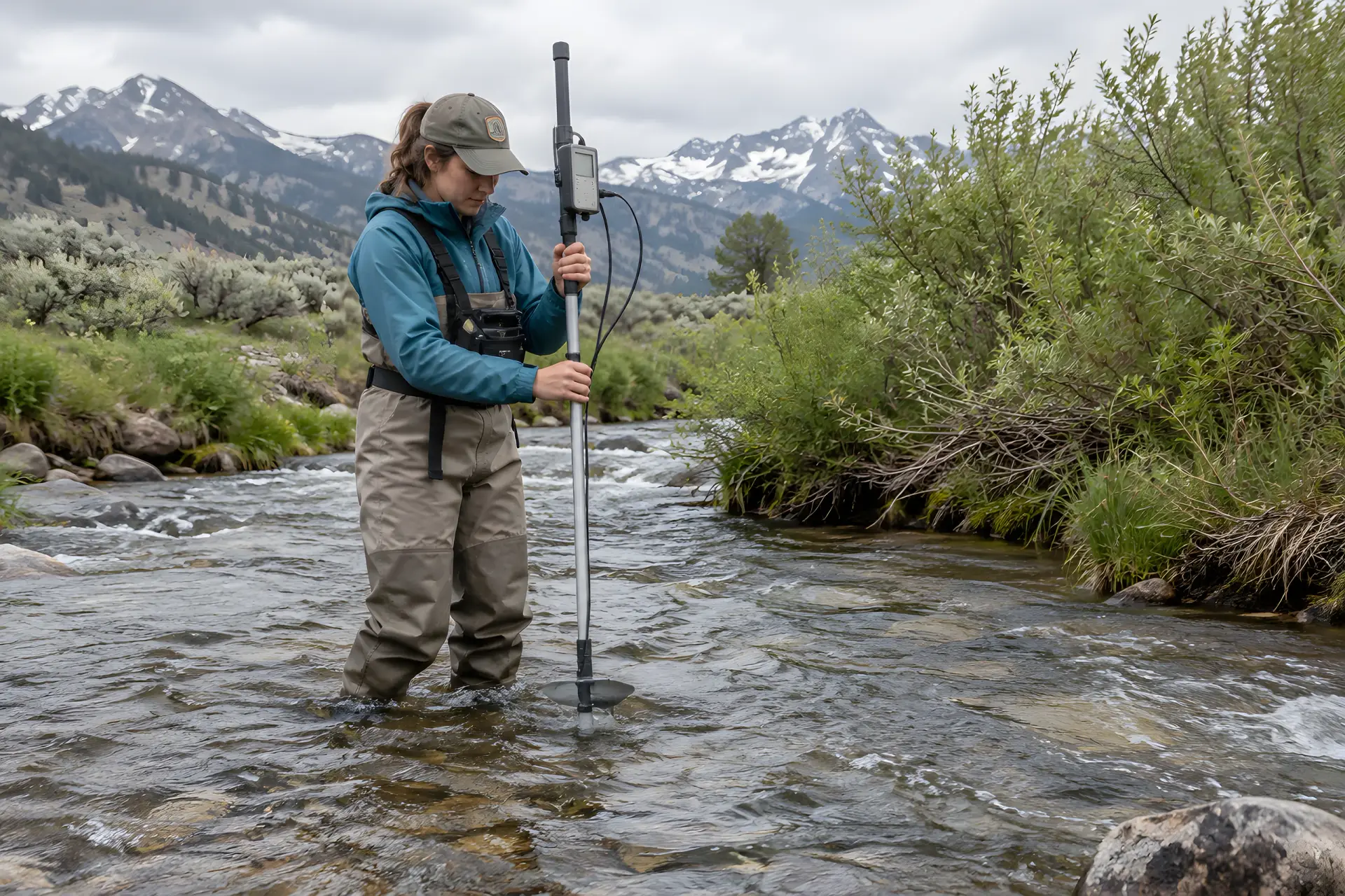
“Our focus is on providing innovative and state-of-the-art solutions to hydrologic and geospatial problems.”
— Mike Follum, PE, PhD
Why FHS
Big-firm expertise. Small-firm focus.
Mike and Tara Follum founded FHS in Casper in August 2021 on three core values: professionalism, innovation, and reliability.
01
Engineers who write the code
We combine water resources engineering with computer science, so the tool fits the problem instead of the other way around.
02
Built for data-sparse problems
When traditional data and models fall short, we build methods that still hold up to review.
03
Competitive rates
Low overhead and automated workflows mean cost-effective work, often below larger consulting firms.
Contact
Tell us about your water problem.
Pick what fits you best and your message goes to the right person.
Government agency inquiry
Commercial / prime contractor inquiry
Research collaborator inquiry
© 2026 Follum Hydrologic Solutions, LLC · Professional. Innovative. Reliable. | Powered by: Dynamic Digital Solutions