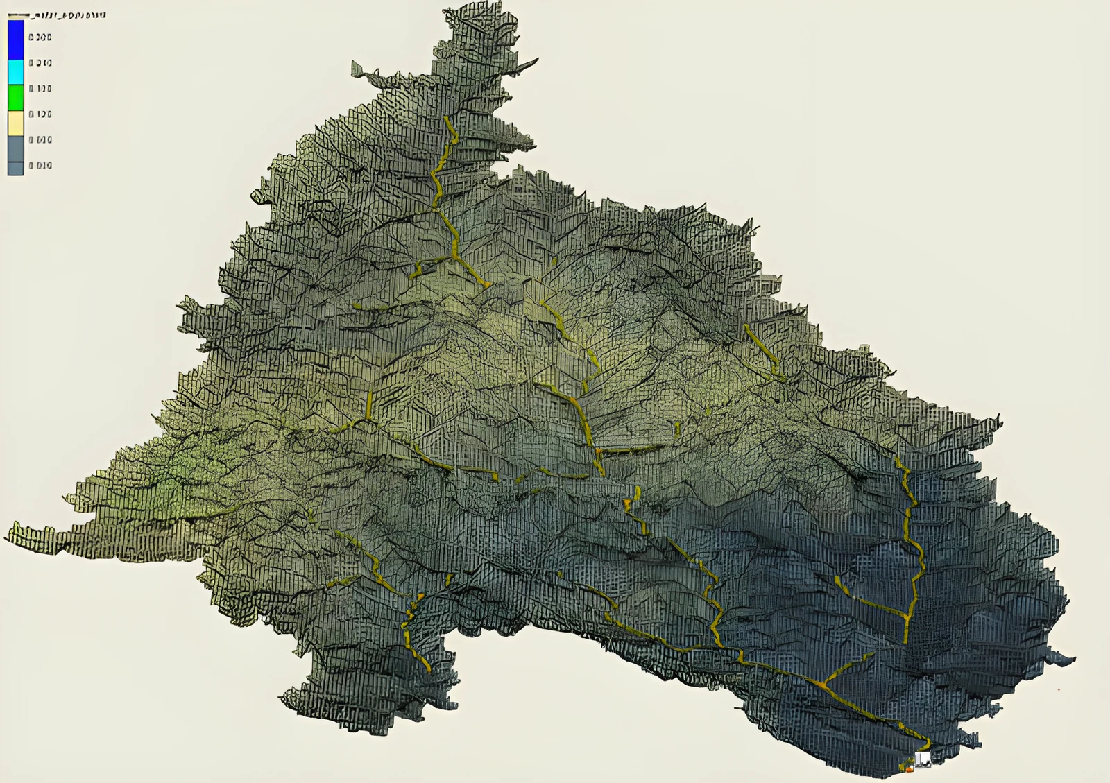
Forecast weather and streamflow models account for uncertainty by utilizing multi-member ensembles. Utilizing each member of the weather ensemble, flow models translate weather information into multiple streamflow simulations for each stream reach. However, when flood maps are generated only a single flow rate is chosen for each stream reach and a single flood map is generated. The emphasis of this project is to develop a methodology to create ensemble flood maps for use in continental-scale forecasting frameworks. In so doing, uncertainty in weather/flow forecasts can be realized through the differences in expected flood extents.
The figure shows the method for generating operational (forecast) flood maps using flow rates from a 21-member ensemble. Dark-blue shows agreement between all of the flood ensemble members. Light blue indicates where only some of the ensemble members indicate flooding to occur.
Why it matters: a flood forecast shows not just where water may go, but how sure the forecast is.