Casper, Wyoming

Services
Water Management & Decision Tools
Accounting, transit losses, instream flows
Hydrologic & Hydraulic Modeling
Watershed to continental-scale models
GIS & Remote Sensing
Terrain, land cover, ET, spatial data
Solutions & Research
Where water, data, and code meet.
Our team combines decades of experience in water resources engineering, applied research, and operational decision support. We specialize in problems where data are limited, systems are complex, or conventional approaches are not enough.
Core services
Three things we do every day.
Most of our work starts in one of these three areas, and most projects use all of them together.
01
Core service
Water Resources Management & Planning
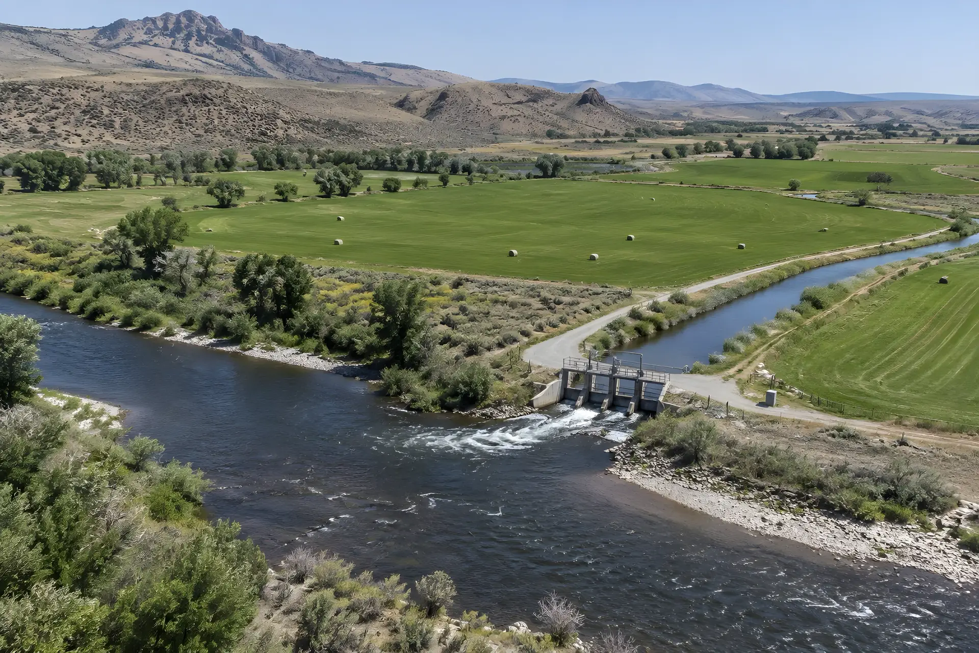
FHS provides engineering and analytical services to support water management, conservation, and long-term planning. Our expertise includes irrigation systems, agricultural consumptive use, water accounting, conveyance and transit losses, reservoir operations, and instream flow evaluations. We combine hydrologic modeling, remote sensing, and decision-support tools to help clients evaluate water availability, improve operations, and make informed management decisions.
Why it matters: you know how much water you really have, where it goes, and how much is lost along the way, so you can make the call and defend it.
What this includes
- Irrigation systems
- Agricultural consumptive use
- Water accounting
- Conveyance & transit losses
- Reservoir operations
- Instream flow evaluations
Core service
Hydrologic & Hydraulic Modeling
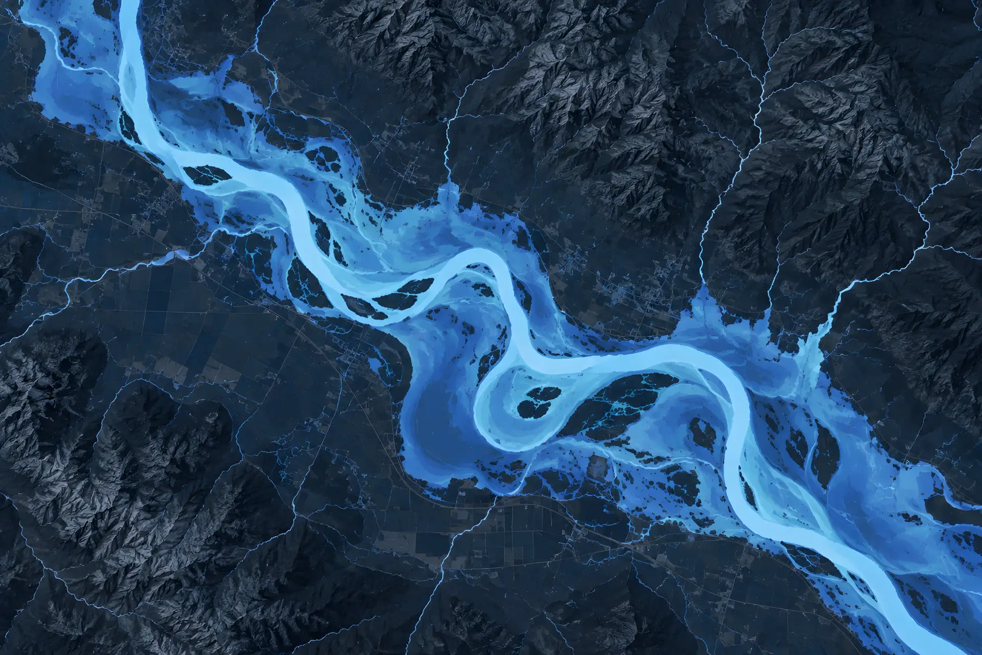
FHS develops and applies hydrologic and hydraulic models to evaluate streamflow, flooding, river systems, and water infrastructure. Our capabilities range from detailed watershed and two-dimensional hydraulic modeling to regional and continental-scale simulations. We specialize in developing efficient, scientifically defensible modeling approaches, particularly in areas where traditional data and modeling resources are limited.
Why it matters: you know how high the water will get and where it will go before you build, permit, or plan around it.
What this includes
- Streamflow & flooding
- River systems
- Water infrastructure
- Watershed modeling
- 2D hydraulic modeling
- Regional to continental scale
02

03
Core service
GIS, Remote Sensing & Geospatial Analysis
FHS leverages geographic information systems (GIS), satellite imagery, and advanced geospatial datasets to better understand water resources and environmental conditions. Our services include terrain analysis, watershed characterization, land cover mapping, evapotranspiration estimation, and spatial data processing. We integrate these technologies with engineering models to provide reliable information for water management, infrastructure planning, and environmental assessments.
Why it matters: you get a clear picture of what is happening on the ground across a whole river basin, ready to feed straight into your models.
What this includes
- Terrain analysis
- Watershed characterization
- Land cover mapping
- Evapotranspiration estimation
- Satellite imagery
- Spatial data processing
Also from our team
Software, research, and independent review.
These services support the core work, and each one is also available on its own.
Software Development & Decision-Support Tools
FHS develops customized software, computational models, and decision-support tools to address complex engineering and water management challenges. Our team combines water resources engineering with computer science to automate analytical processes, integrate diverse datasets, and create practical tools tailored to client needs. These solutions help organizations improve efficiency, evaluate management alternatives, and translate complex technical information into actionable decisions.
Why it matters: you get a tool built around your data and your decisions, not a generic program you have to work around.
- Custom software
- Computational models
- Decision-support tools
- Process automation
- Data integration
Hydrologic Forecasting & Applied Research
FHS conducts applied research and develops innovative approaches to improve hydrologic forecasting and water-resource assessments. Our expertise includes streamflow forecasting, snow and frozen-ground hydrology, climate and water availability studies, and advanced modeling in data-sparse environments. We bridge the gap between scientific research and operational applications, delivering methods and tools that support real-world planning and decision-making.
Why it matters: you see what is coming, from spring runoff to the next flood, early enough to plan for it.
- Streamflow forecasting
- Snow & frozen-ground hydrology
- Climate & water availability
- Data-sparse modeling
Engineering Analysis & Technical Support
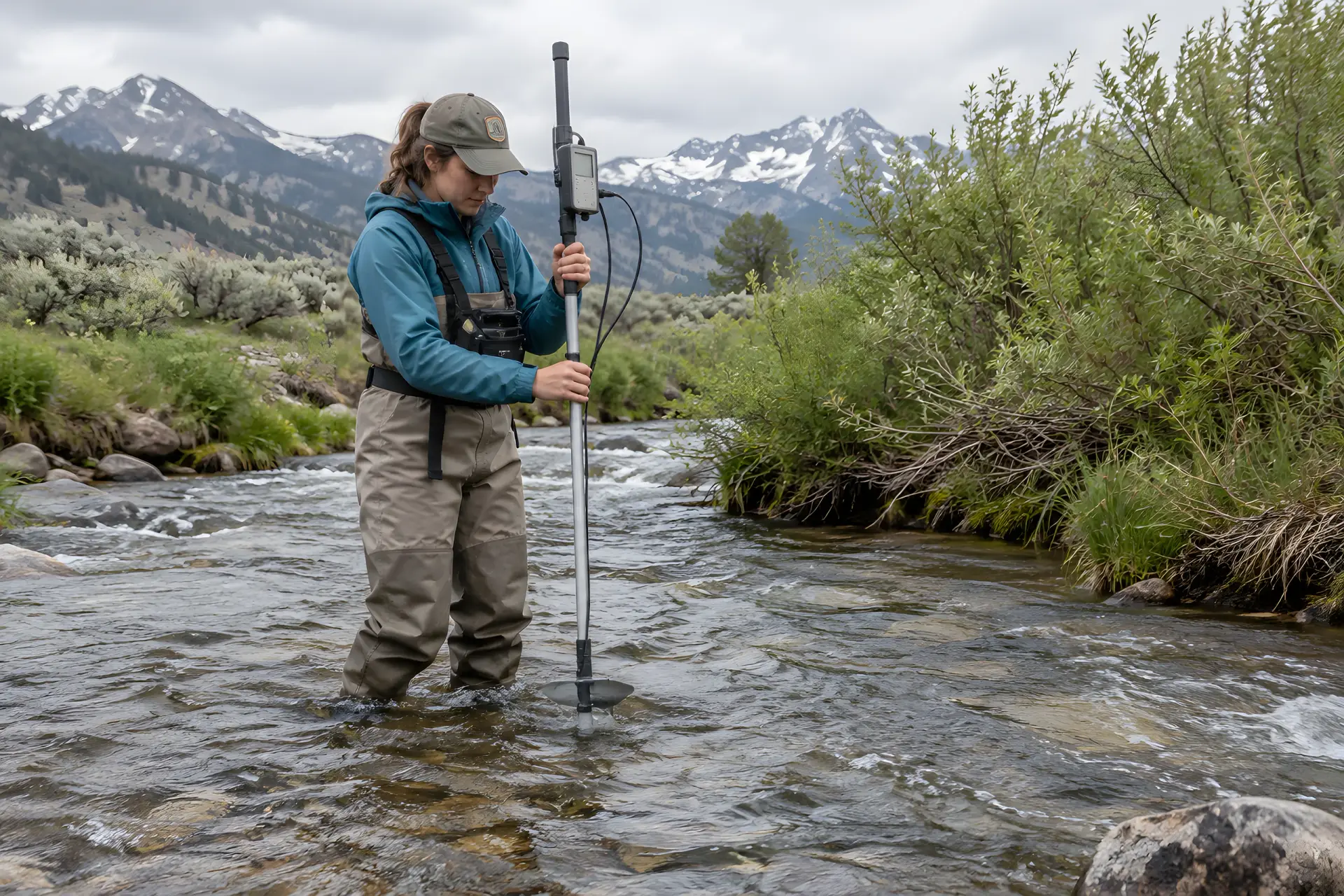
FHS provides specialized engineering analysis, technical evaluations, and independent reviews for water-related projects and infrastructure. Our services include streamflow measurement and analysis, hydraulic assessments, model evaluation, infrastructure vulnerability studies, and technical investigations. We work with public agencies, engineering firms, and other organizations to deliver objective, technically sound evaluations that support planning, design, and operational decisions.
Why it matters: you get an independent check on a model, design, or study before money and decisions ride on it.
- Streamflow measurement
- Hydraulic assessments
- Model evaluation
- Infrastructure vulnerability
- Independent reviews
Our work spans
Where we have done the work.
We specialize at the confluence of geospatial data, programming, and water resources.
- Western water management
- Irrigation & conveyance systems
- Flood risk & inundation mapping
- River & reservoir modeling
- GIS, remote sensing & hydroinformatics
- Climate & water availability studies
- Cold region hydrology
- Hydrology to mobility / bridge analysis
- Streamflow measurement
- Independent technical review
Products & Tools
Tools we built because the old way was too slow.
FHS develops innovative software applications, computational tools, and decision-support systems to address complex water resources and engineering challenges. Our products combine advanced modeling techniques, geospatial datasets, and efficient computational methods to deliver practical, reliable solutions.
AWCET
Agricultural Water Conservation Estimation Tool
Estimates potential water savings associated with agricultural conservation practices.
Why it matters: you know how much water a change in farming practice will actually save before you fund it.
DRC
Diversion Runoff Calculator
Estimates agricultural water consumption, irrigation diversions, and return flows to support water accounting and management.
Why it matters: you can account for what is taken out for irrigation and what returns to the river, with numbers that hold up.
ARC
Automated Rating Curve
Develops synthetic streamflow rating curves to support large-scale hydraulic analysis and flood inundation mapping.
Why it matters: flood maps get built quickly over very large areas, not one river reach at a time.
Flood mapping tools
Efficiently generate flood inundation maps for planning, forecasting, and risk assessment.
Other specialized tools
Customized GIS applications, terrain processing utilities, and hydrologic modeling tools developed for specific client needs.
Research
Research that ends up in the field.
We bridge the gap between scientific research and operational applications, delivering methods and tools that support real-world planning and decision-making.
Why it matters: the methods behind your project have been tested, published, and reviewed by other engineers.
Research partners and clients include CIROH, Brigham Young University, and the U.S. Army Engineer Research and Development Center.
Follum Hydrologic Solutions receives ASCE Best Paper Award
Recognized by the American Society of Civil Engineers for our Diversion Runoff Calculator research.
25Published papers & technical reports
5 PhDsOn our engineering team
ASCEBest Paper Award for DRC research
15+ yearsH&H modeling experience
Pricing
Big-firm expertise at small-firm rates.
FHS is committed to providing high-quality engineering and technical services at competitive rates. As a small, specialized firm, we maintain low overhead and emphasize efficient workflows, automation, and streamlined processes. These advantages allow us to offer cost-effective solutions, often at rates below those of larger consulting firms, without compromising technical quality or reliability.
Pricing for our products and services varies depending on project requirements, licensing arrangements, and customization needs. Please contact us to discuss available tools, services, and pricing.
Why it matters: you get senior engineers on your project without paying for a large firm’s overhead.
Contact
Not sure which service fits?
Tell us about the problem and we will tell you how we would tackle it. Email email us or call 307.337.7260.
© 2026 Follum Hydrologic Solutions, LLC · Professional. Innovative. Reliable. | Powered by: Dynamic Digital Solutions