Casper, Wyoming

Services
Water Management & Decision Tools
Accounting, transit losses, instream flows
Hydrologic & Hydraulic Modeling
Watershed to continental-scale models
GIS & Remote Sensing
Terrain, land cover, ET, spatial data
Previous study · U.S. Army · GSSHA & HEC-HMS
Snow and Frozen Ground Simulations
- Snow & forecasting
Water from the snowpack drives the rivers for much of the World and can be a large contributor to flooding. Historically, snow has been difficult to simulate due to limited data availability for both forcing and calibrating the numerical methods. Many hydrologic models contain multiple snow simulation methods depending on available data. Complex methods solve the physical processes within the snowpack, but often require numerous and highly-accurate forcing data. Simpler methods require less data, but often miss the spatial characteristics of the snowpack (differences between South- and North-facing slopes, shading, vegetation, etc.).
Dr. Follum developed the Radiation-Derived Temperature Index (RTI) snow method and the Modified Continuous Frozen Ground Index (ModCFGI) method to help simulate snowpack and frozen ground more accurately using minimal data. Both methods have been implemented within the U.S. Army Gridded Surface Subsurface Hydrologic Analysis (GSSHA) model. The RTI snow method is an option within the HEC-HMS model.
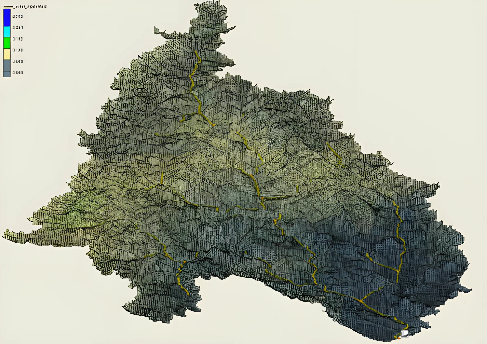
Snow Model of Helmand River Basin, Afghanistan
Frost Depth simulations for Sleepers River Experimental Watershed, VT. CFGI: Spatial variation based on elevation. modCFGI: Spatial variation based on land cover, elevation, and slope/aspect.
Publication
Follum, M. et al. (2019). “A comparison of snowmelt‐derived streamflow from temperature‐index and modified‐temperature‐index snow models”. Hydrological Processes. 1– 16.
Publication
Follum, M. et al. (2018). “A simple temperature-based method to estimate heterogeneous frozen ground within a distributed watershed model”. Hydrol. Earth Syst. Sci.
Publication
Follum, M. et al. (2015). “A radiation-derived temperature-index snow routine for the GSSHA hydrologic model”. Journal of Hydrology, 529: 723-736.
Publication
Follum, M. and C. Downer (2013). “Snow Water Equivalent Modeling Capabilities of the GSSHA Watershed Model”. Coastal and Hydraulics Laboratory Technical Report ERDC/CHL TR-13-4. U.S. Army Engineer Research and Development Center.
Why it matters: snowmelt and frozen ground can be simulated accurately even where weather data are scarce.
Project facts
- ClientU.S. Army · GSSHA & HEC-HMS
- ServicesSnow & forecasting
- StatusPrevious study
More projects
Related work.
Continental-scale forecasting
Forecast weather and streamflow models account for uncertainty by utilizing multi-member ensembles. Utilizing each member of the weather ensemble, flow models translate…
- Flood mapping & hydraulics
- Snow & forecasting
Wyoming State Engineer's Office
Follum Hydrologic Solutions (FHS) in collaboration with Precision Water Resources Engineering (PWRE) completed a comprehensive transit loss evaluation for the Green…
- Water management
Wyoming State Engineer's Office
Follum Hydrologic Solutions (FHS) is extending its ongoing Transit Loss Study for the Wyoming State Engineer’s Office to include the Blacks Fork and Little Snake Rivers…
- Water management
Contact
Have a project like one of these?
Email email us or call 307.337.7260. Prefer a form? It takes a minute.
© 2026 Follum Hydrologic Solutions, LLC · Professional. Innovative. Reliable. | Powered by: Dynamic Digital Solutions