
Agricultural Water Conservation Estimation Tool (AWCET)
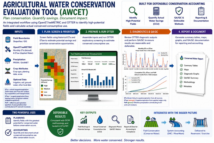
The Agricultural Water Conservation Estimation Tool (AWCET) is designed to help water managers quantify the amount of water conserved when agricultural fields are temporarily fallowed or otherwise enrolled in a water-conservation program. The tool combines field-scale geospatial information with remotely sensed evapotranspiration data, such as OpenET, to compare actual water consumption with the water use that would have been expected under normal irrigated conditions.
AWCET provides a practical way to move beyond simply documenting that a field was fallowed and instead quantify the resulting reduction in consumptive use. The tool has been tested against fields fallowed through multiple water-conservation programs in both Utah and Wyoming, providing real-world examples for evaluating its ability to quantify agricultural water savings.
Because the analysis is performed at the field scale, conservation estimates can be aggregated across individual participants, irrigation systems, conservation programs, or entire basins. This allows water managers to evaluate conservation programs soon after implementation, document conserved water, and better understand how agricultural conservation actions contribute to broader water-management objectives.
In simple terms, AWCET answers the question: “We implemented an agricultural conservation action—how much water did it actually conserve?”